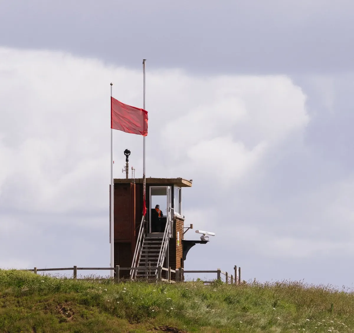
One app says 20 mph. Another says 32 km/h. The shipping forecast on the radio mentions Force 6, and a sailing friend talks about 25 knots. All four could be describing the same blustery Tuesday afternoon. Britain runs on a mix of wind units because we inherited different measuring habits from different industries, and nobody has ever properly tidied it up. Once you know a handful of conversion tricks, the numbers stop being noise and start being useful.
Land forecasts for the general public usually come in miles per hour, which is what most of us instinctively understand from driving. Marine and aviation forecasts use knots, because a knot — one nautical mile per hour — ties neatly into charts and latitude. European apps and much of the rest of the world default to kilometres per hour, so a phone set to a mainland weather service will hand you km/h without asking. Meanwhile, scientific and engineering data often uses metres per second, which is a tidy unit for calculations but a useless one for a barbecue decision.
Layered over all of that is the Beaufort scale, a descriptive system from the early nineteenth century that runs from 0 to 12. It was designed for sailors logging conditions at sea, and it survives because it communicates impact rather than precision: "gale" tells you more about your afternoon than "43 mph" does.
You do not need a calculator. These approximations are close enough for deciding whether to take the dog to the beach.
A useful sanity check: if a number in km/h looks dramatic, divide it by two and add a bit. 60 km/h is not far off 37 mph — strong enough to make a cycle commute hard work, not a hurricane.
Beaufort describes what the wind does, not just how fast it moves. That is exactly why sailors still use it, and why it is worth knowing the levels that matter for everyday life.
Two forecasts showing different numbers for the same hour are often measuring different things. A sustained wind figure is an average, usually taken over ten minutes at a standard height in open ground. A gust is a short peak, lasting only a few seconds. Forecasts often give both, written as "20 mph gusting 35", and the gust is usually the number that matters if you are carrying a sheet of plywood or cycling across a viaduct.
Terrain matters just as much. A wind of 25 mph in a sheltered town centre might be 40 mph on a nearby hilltop, a headland, or the gap between two tall buildings. Coastal locations add sea breeze effects on calm summer days, and valleys can funnel wind into something far stronger than the regional forecast suggests.
Start by checking the units setting in your weather app, because a default of km/h will make a normal breezy day look extreme. Then compare like with like: do not measure a marine forecast in knots against a land forecast in mph and assume one is wrong.
For anything on the water, read the inshore waters or shipping forecast, where the Beaufort force and sea state are given alongside the wind direction — a Force 6 from the south-west feels very different from a Force 6 offshore wind. For land plans, look at the gust column rather than the headline figure, and check the trend across the day rather than a single hour.
Finally, build up your own calibration. Note what 15 mph feels like on your usual route; note when the wheelie bin goes over. Within a season or two you will read a wind forecast the way you read a temperature — quickly, and with a fair idea of what to wear.
Photo: Ellie Burgin / Pexels

Gusts can hit without warning. Here's how walkers, cyclists and commuters should react in the first minute of a...
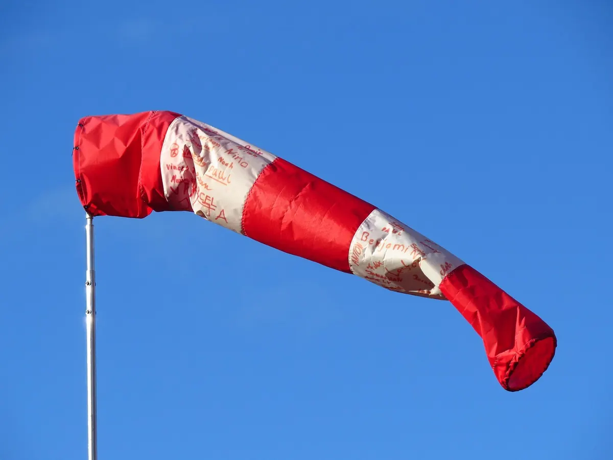
Wind forecasts give an average speed and a peak gust. Knowing which one to plan around — and reading the gap between...
Crosswinds rarely announce themselves. Practical guidance on reading exposed roads, holding your lane, and keeping...

Your guide to gales, wind, and weather.
